Log in
All resources
Create a design
52,119 Free Images of Old Celestial Maps
maps in the library of congress
ohio
bird's eye view maps of ohio
latin-language maps
charts and maps of the royal museums greenwich
united states geological survey maps
topographic maps of new york (state)
maps of the adirondack mountains
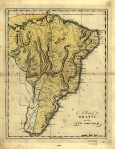
19th-century maps of brazil
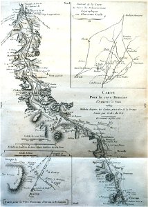
1810s maps of south america
old testament paintings in national trust places
paintings of hagar and the angel
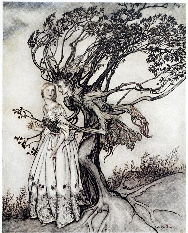
arthur rackham's illustrations of grimm's fairy tales
the old woman in the wood
old testament paintings in the nationalmuseum stockholm
religious paintings by frans francken (ii)
old testament paintings in the national gallery of ireland
nicolas bertin (1667-1736)
young maids & old china
girls reading in art
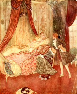
the sleeping beauty and other fairy tales from the old french
sleeping beauty
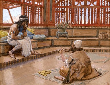
old testament by james tissot
miketz
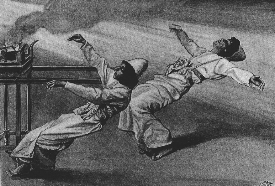
old testament by james tissot
tetzaveh
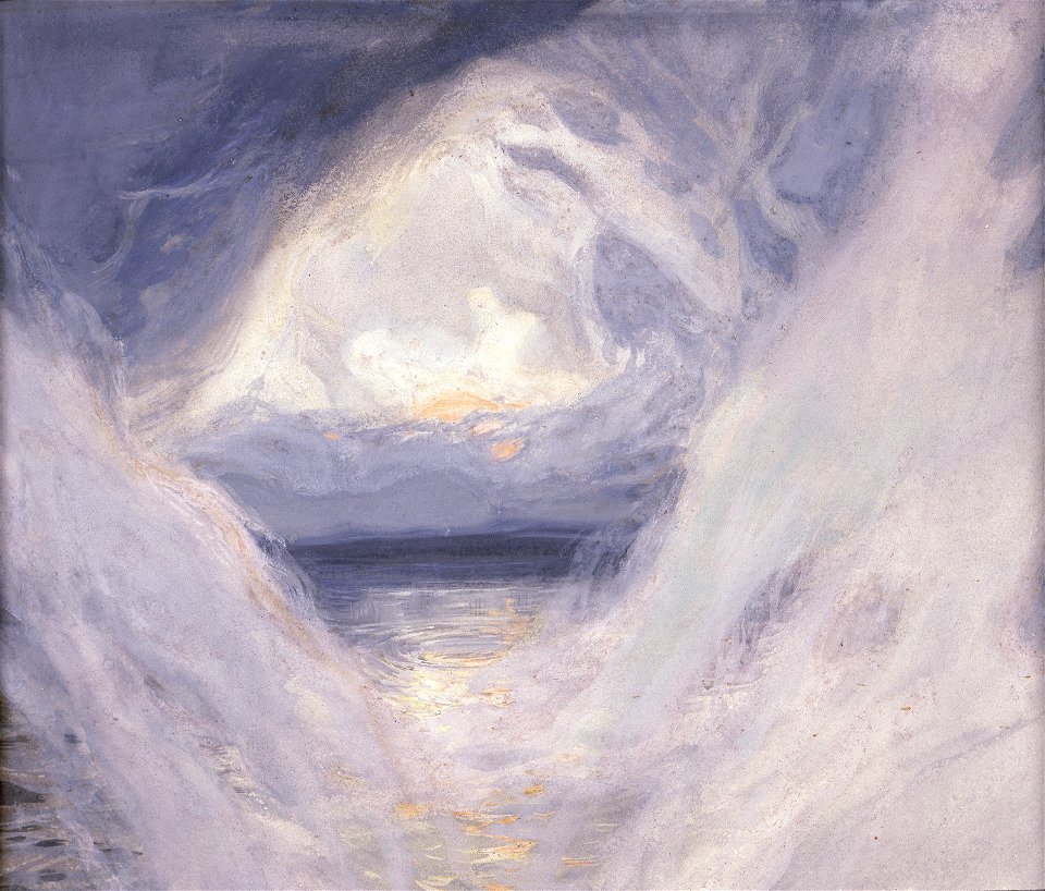
creation myth
second day
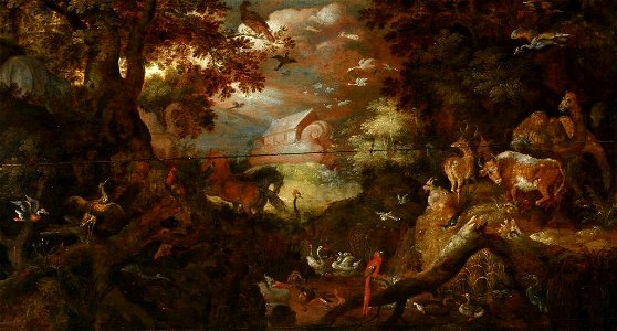
old testament paintings in the auckland art gallery
landscape paintings by roelant savery
wayside sketches in crete
macedonia
old testament paintings in the nationalmuseum stockholm
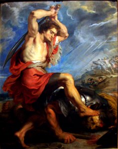
amalek
works after frans hals
malle babbe
art depicting the old testament by gustave doré
engravings of job
old church slavonic
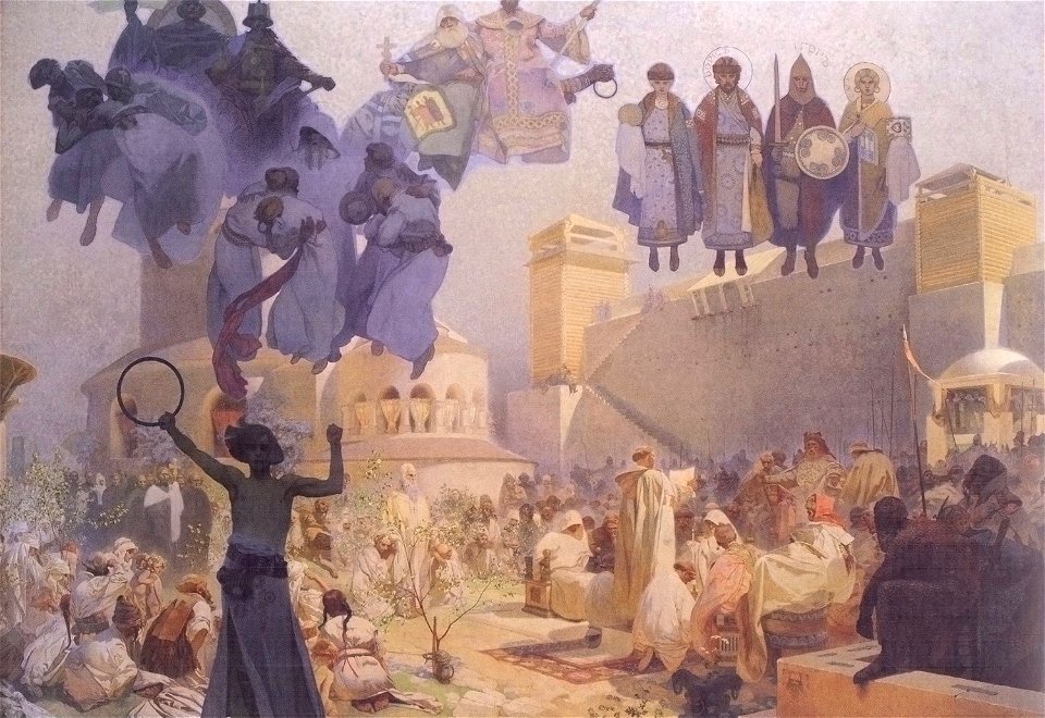
alphonse mucha
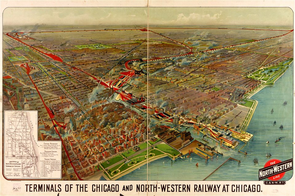
maps by george h. walker and company
maps in the library of congress
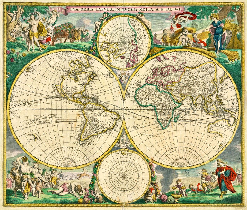
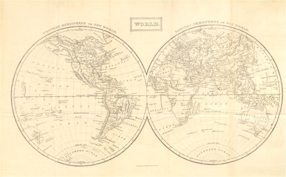
double hemisphere world maps
maps by frederick de wit
english-language maps
1752
administrative history of france
latin-language maps
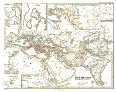
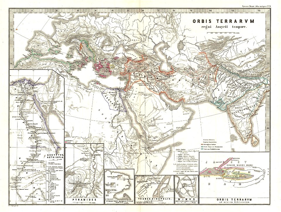
maps of ancient persia
karl spruner von merz
maps in the library of congress
19th-century maps of brazil
maps in the library of congress
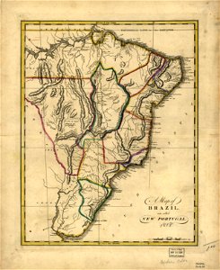
19th-century maps of brazil
maps in the library of congress
19th-century maps of brazil
maps in the library of congress
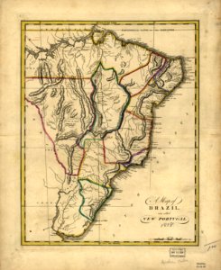
19th-century maps of brazil
maps in the library of congress
1639 maps
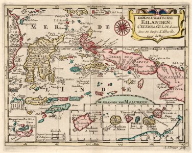
18th-century maps of indonesia
1705
johann baptist homann
latin-language maps
johann baptist homann
latin-language maps
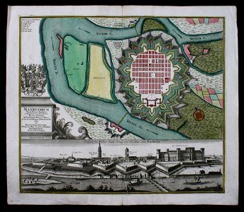
festung mannheim
maps of mannheim
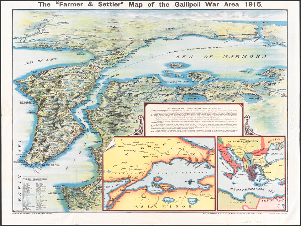
maps in the national library of australia
maps of the sea of marmara
coat of arms of germany
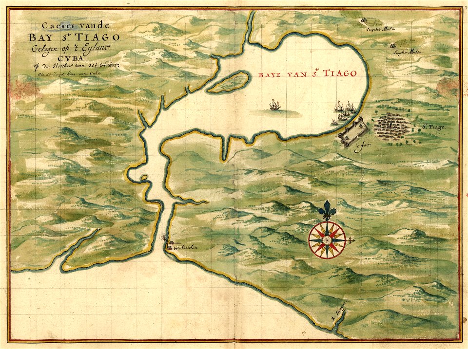
1642 maps of croatia
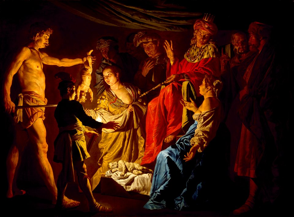
murder in art
jael
maps of paris from the barry lawrence ruderman antique maps inc.
1690s maps of paris
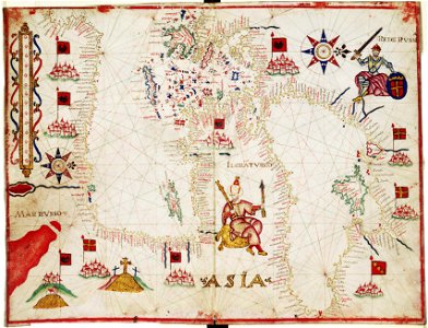
16th-century maps of the mediterranean sea
16th-century maps of the black sea
maps of the republic of novgorod
1539 maps of russia
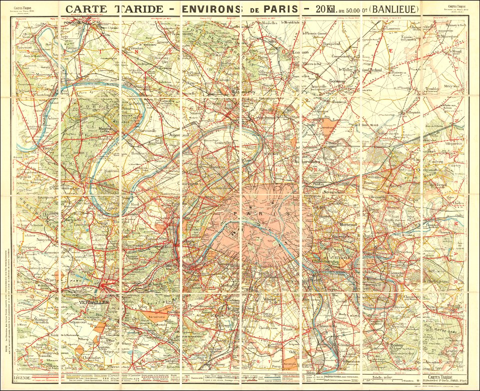
maps of paris from the barry lawrence ruderman antique maps inc.
maps of paris in the 1920s
english-language maps
1814 maps
french revolution of 1830
1830s maps of paris
maps of the sea of marmara
colossus of rhodes
maps by jodocus hondius
old maps of virginia
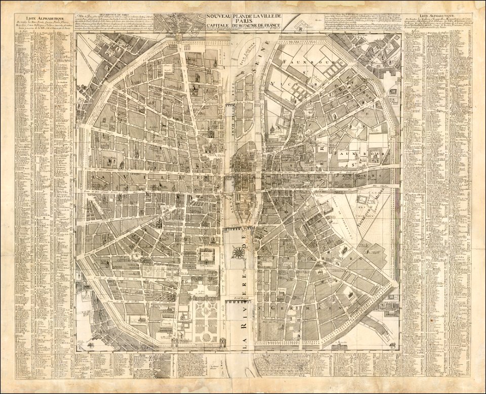
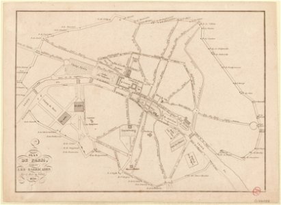
maps of paris in the 16th century
16th-century maps of paris
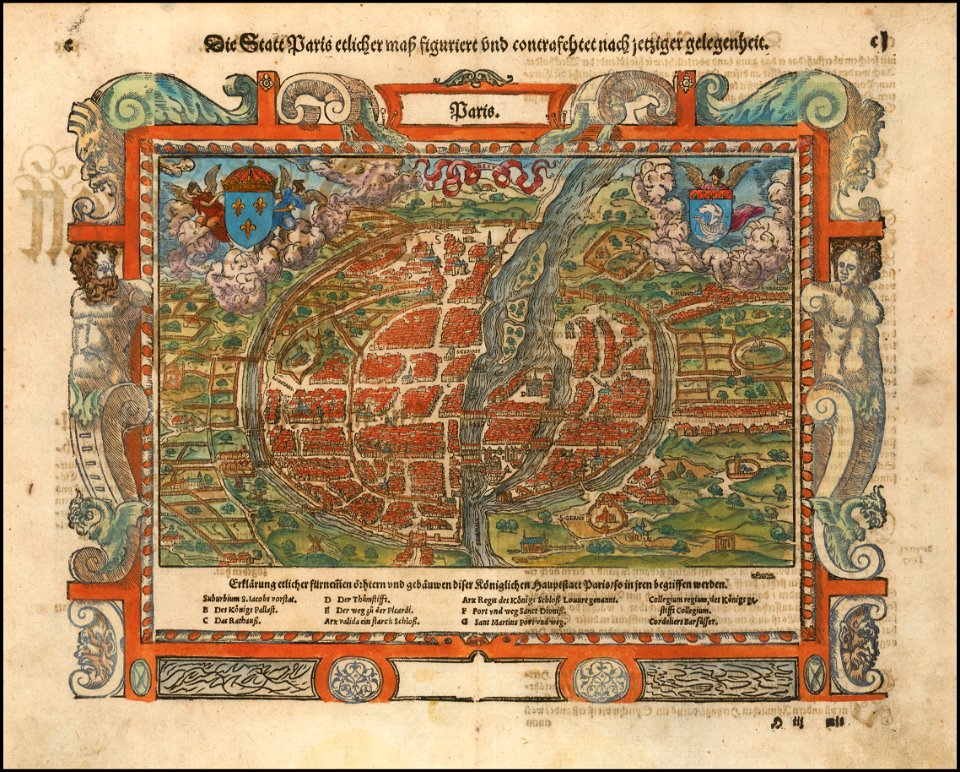
maps of paris from paris musées
paintings in musée carnavalet
maps of paris from paris musées
paintings in musée carnavalet
old testament paintings in the hermitage
1641 paintings
bode museum
new york
17th-century paintings of susanna and the elders
rhode island school of design museum
paintings in the leuchtenberg gallery
leuchtenberg gallery
museum of fine arts
houston
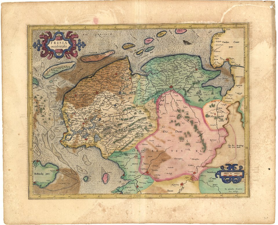
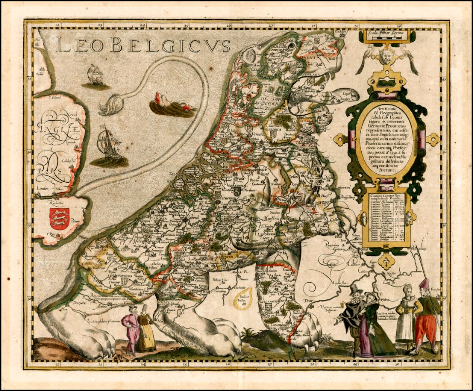
koninklijk nederlands aardrijkskundig genootschap
map collection frederik muller & co
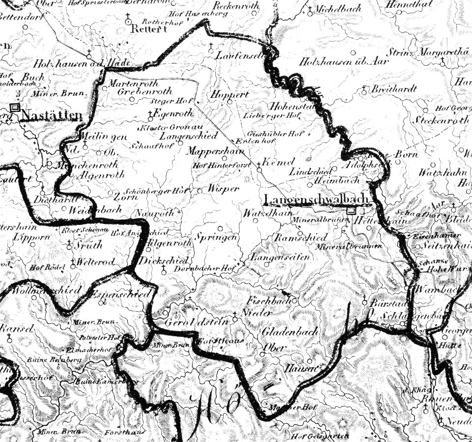
history of bad schwalbach
1828
koninklijk nederlands aardrijkskundig genootschap
map collection frederik muller & co
koninklijk nederlands aardrijkskundig genootschap
map collection frederik muller & co
koninklijk nederlands aardrijkskundig genootschap
map collection frederik muller & co
harvard university
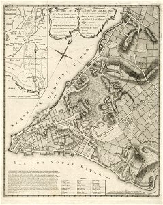
map of manhattan
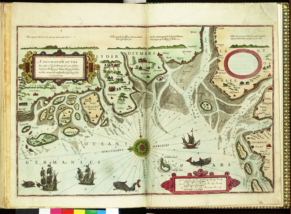
german bight
1588 maps
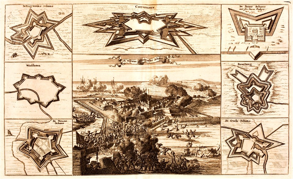
bad nieuweschans
coevorden
collections de la bibliothèque nationale et universitaire de strasbourg
german-language maps
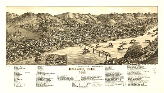
bellaire
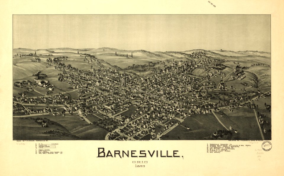
ohio
bellaire
ohio
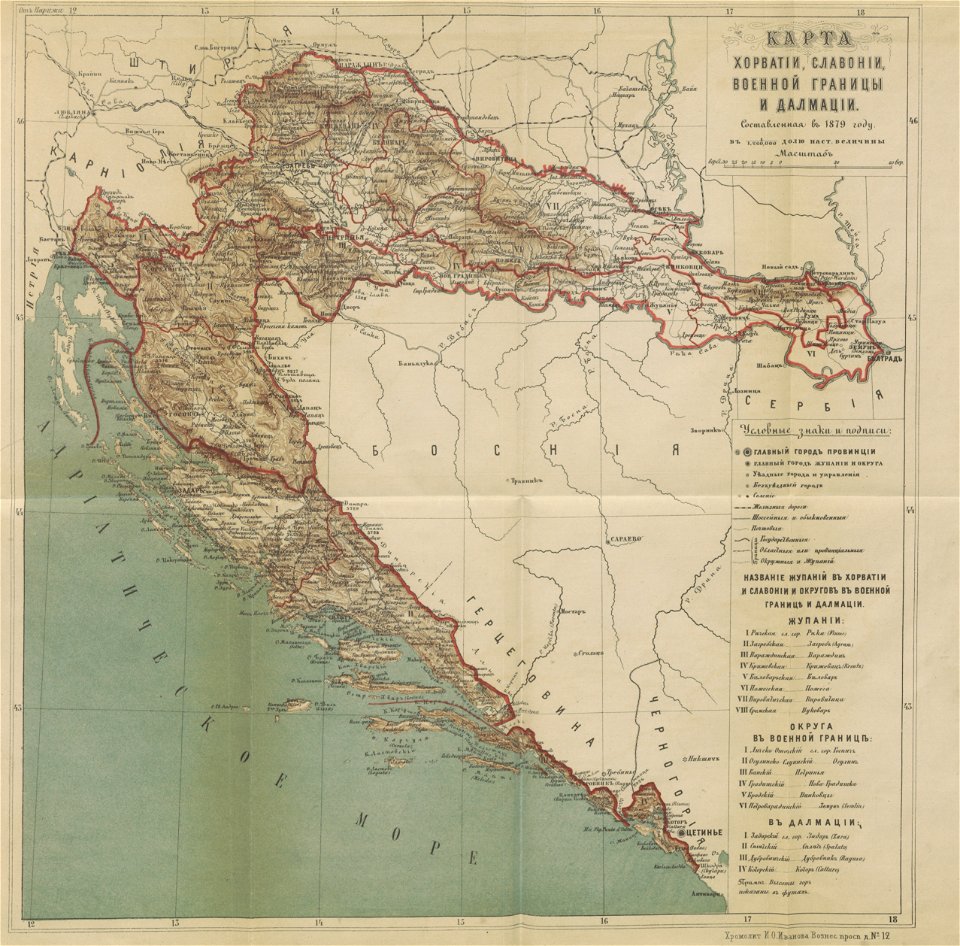
karl spruner von merz
1865 maps of europe
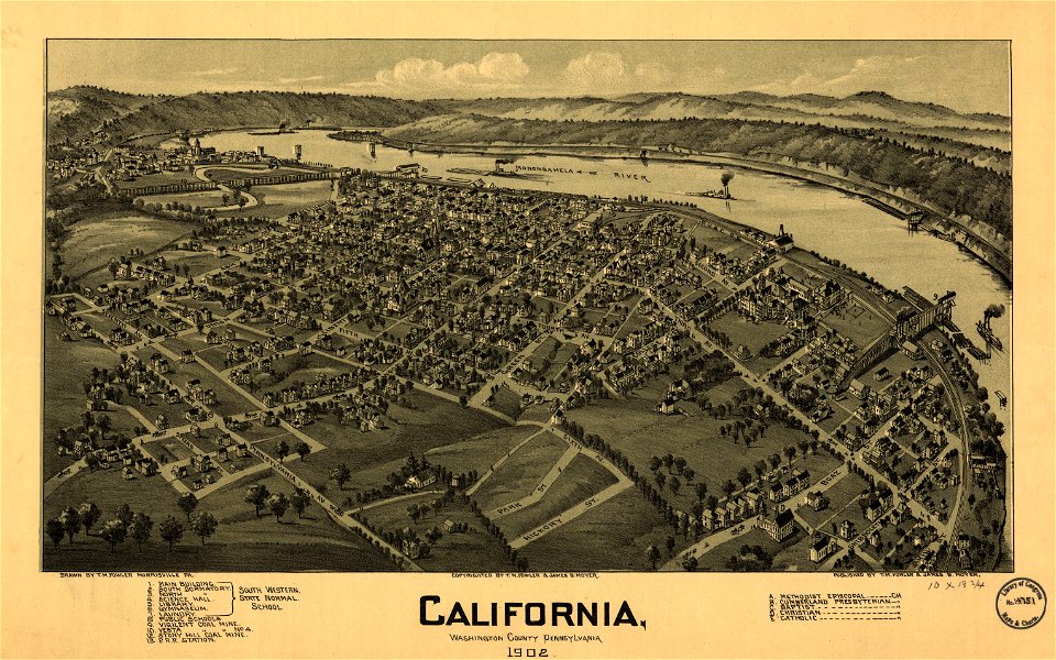
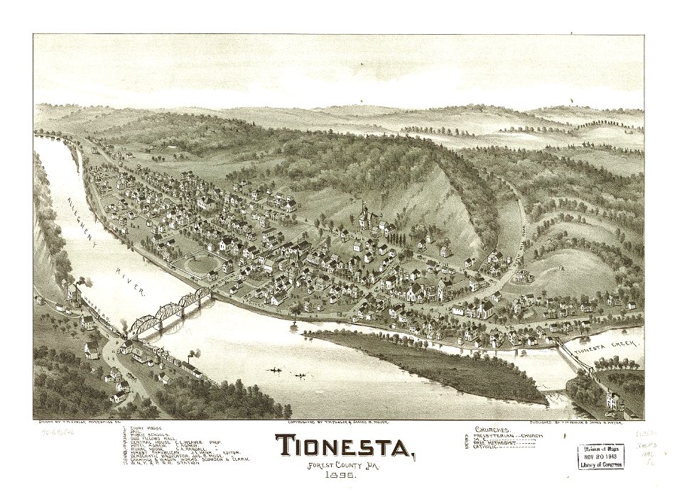
pennsylvania
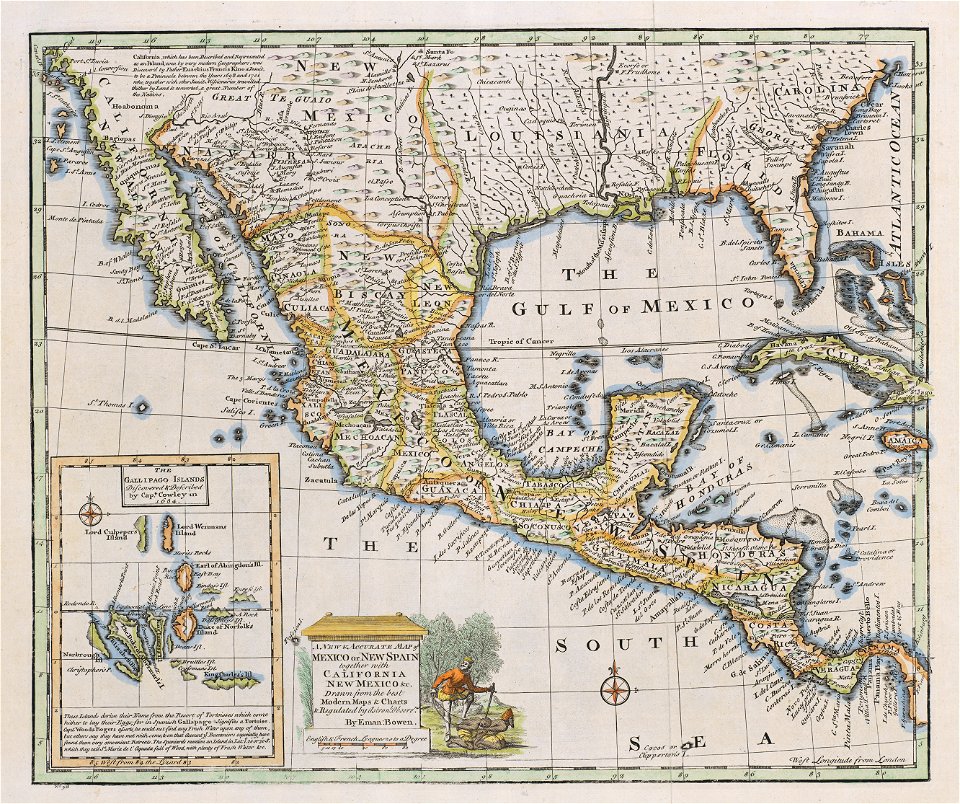
california
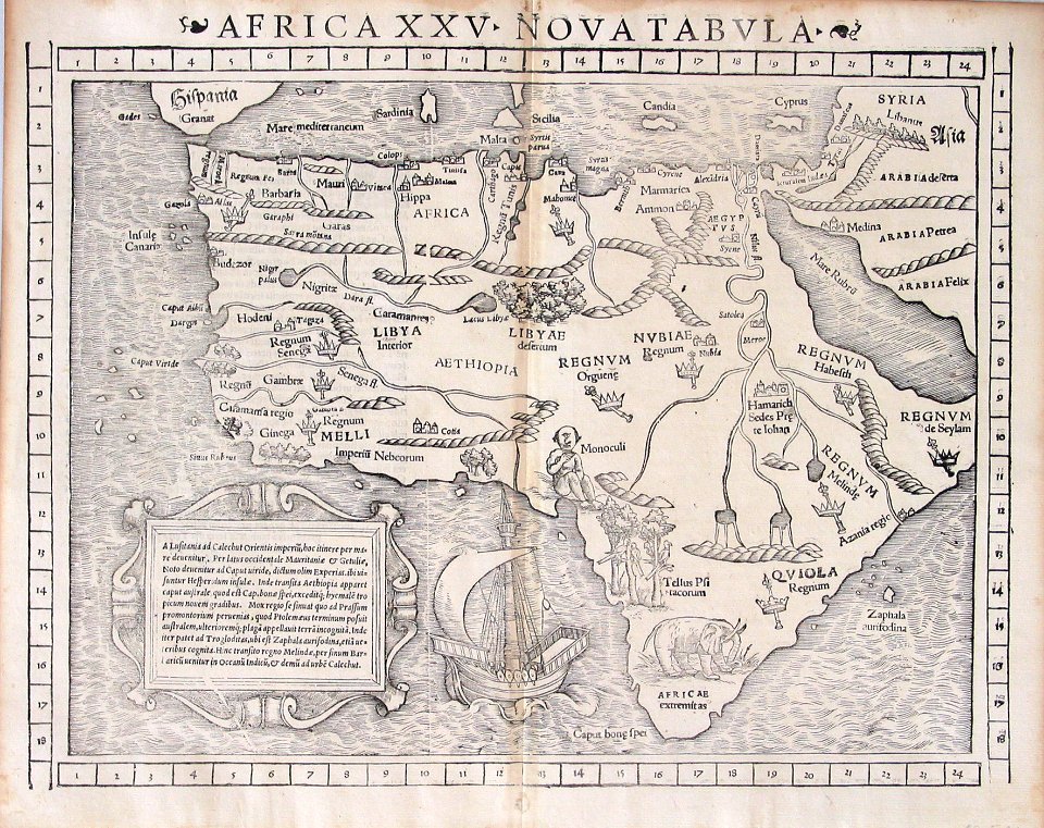
illustrations of cosmographia (münster)
1550s maps of africa
maps in the library of congress
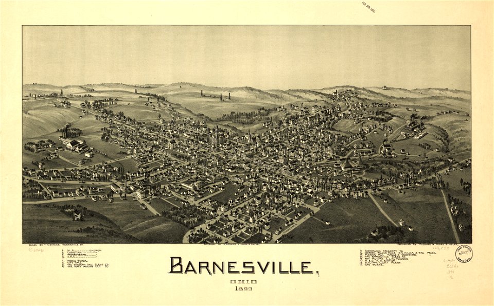
ohio
pieter van der keere
ships on maps
maps in the library of congress
ohio
maps in the library of congress
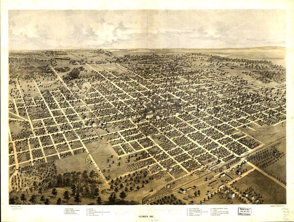
illinois
maps in the library of congress
illinois
giovanni marco pitteri
italian-language maps
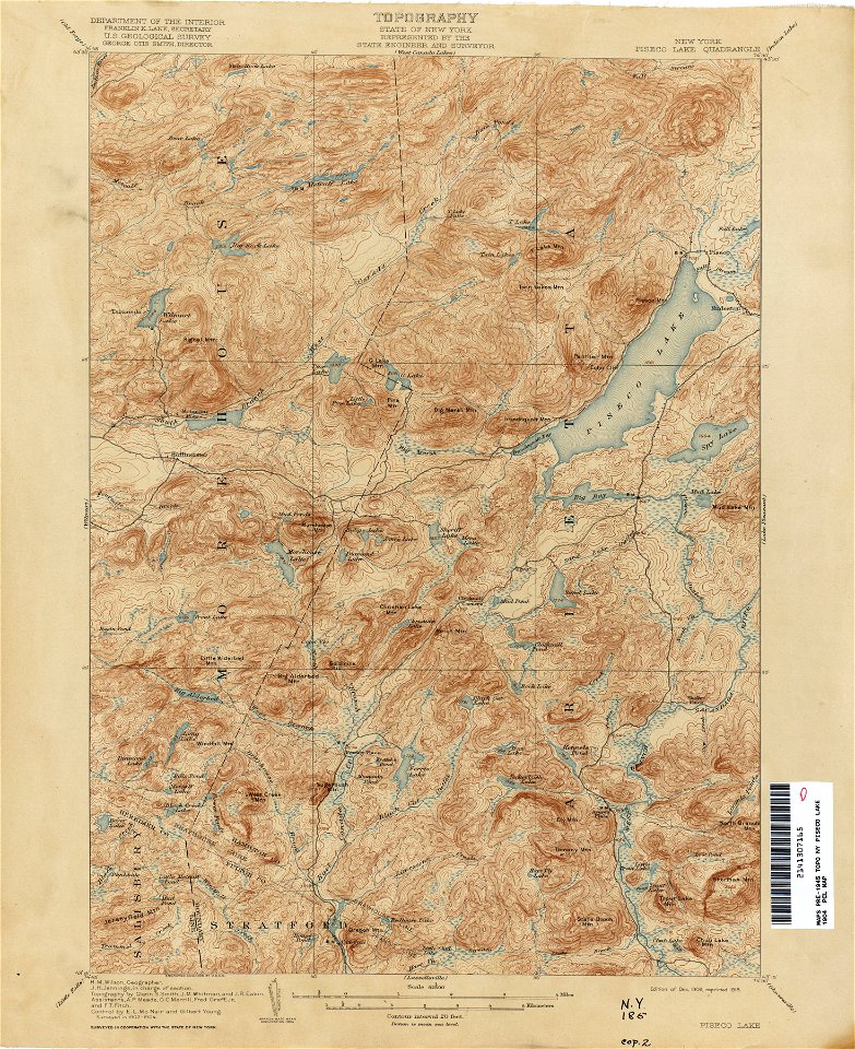
united states geological survey maps
topographic maps of new york (state)
united states geological survey maps
topographic maps of new york (state)
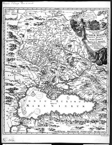
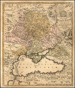
18th-century maps of the black sea
charles françois delamarche
united states geological survey maps
topographic maps of new york (state)
united states geological survey maps
topographic maps of new york (state)
united states geological survey maps
topographic maps of new york (state)
maps in the library of congress
1861 maps of south carolina
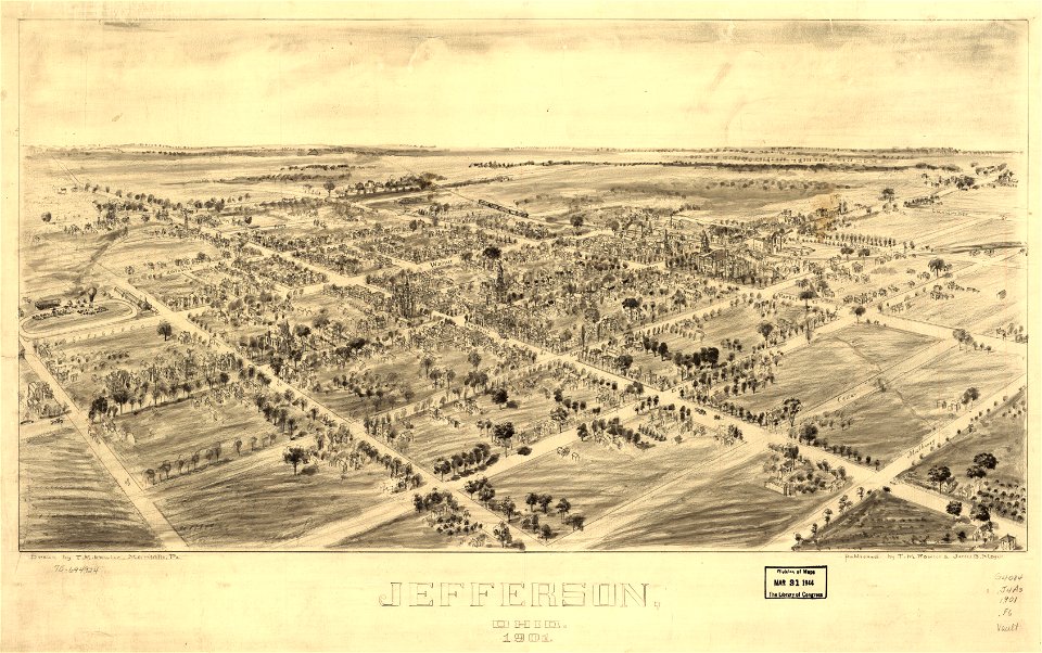
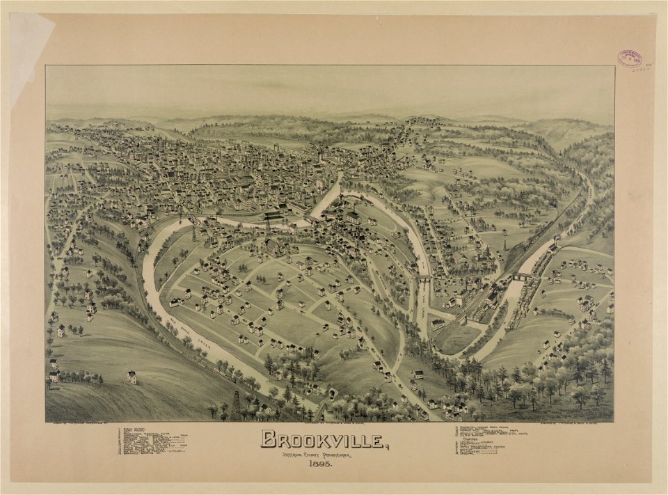
jefferson
ohio
jefferson
ohio
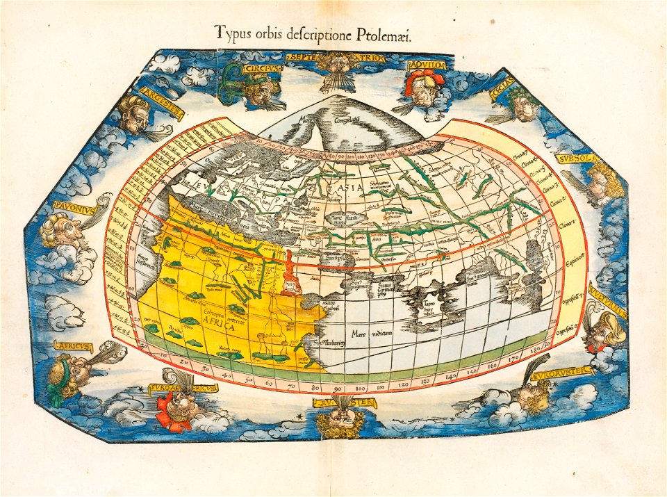
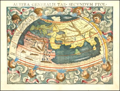
ptolemaic world maps
latin-language maps
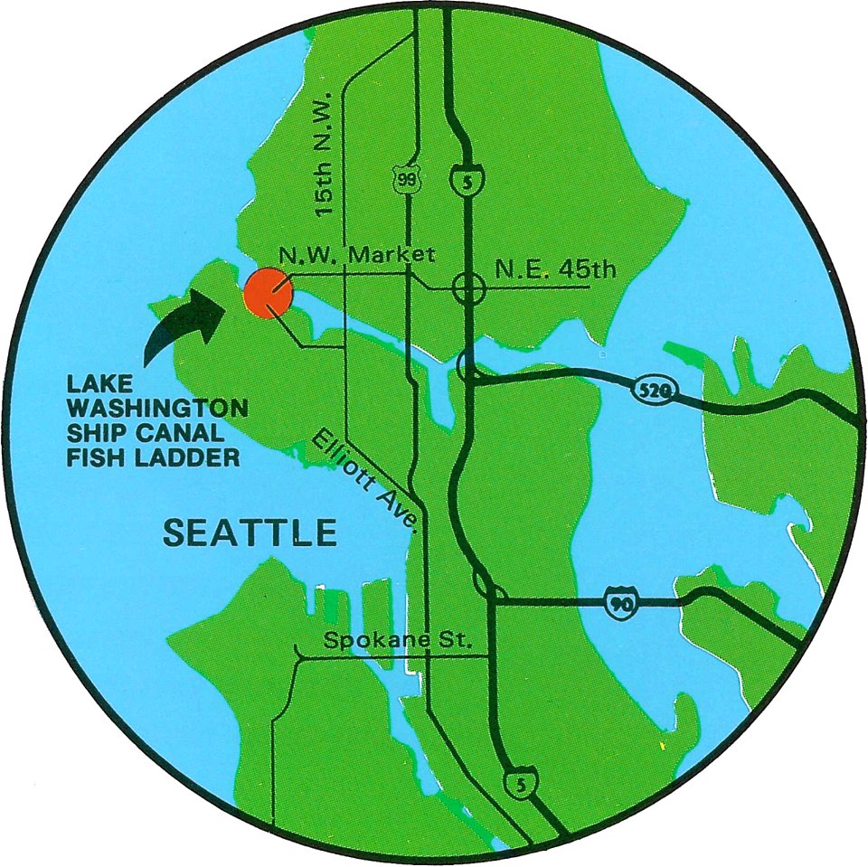
fish ladders in the united states
1996 maps
bird's eye view maps of pennsylvania
pennsylvania
maps in the library of congress
1639 maps
maps in the library of congress
1639 maps
maps from the mechanical curator collection
1879 maps
maps from the mechanical curator collection
1857 books
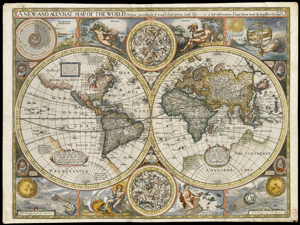
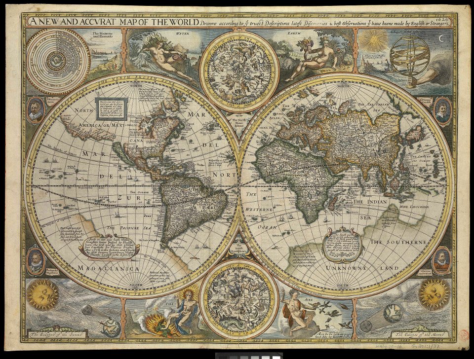
charts and maps of the royal museums greenwich
1626 maps
charts and maps of the royal museums greenwich
1626 maps
charts and maps of the royal museums greenwich
1626 maps
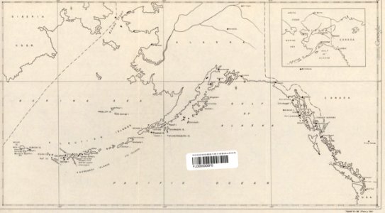
maps of the aleutian islands
1940s maps of alaska
french-language maps
johannes ratelband
maps by sebastian münster
ptolemaic world maps
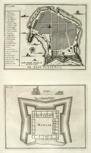
maps of the dutch east india company - sri lanka
1726 maps
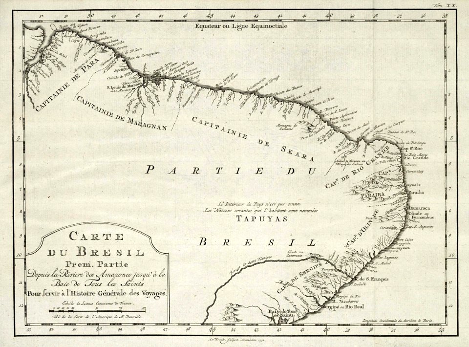
1780 in brazil
1780 maps
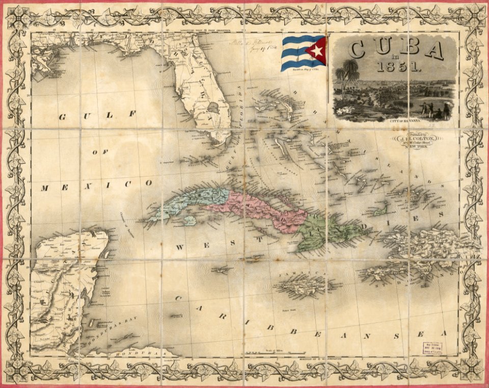
maps in the library of congress
1851 maps
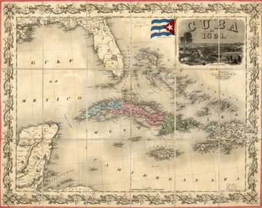
maps in the library of congress
1851 maps
bibliothèque municipale de reims
mm 466
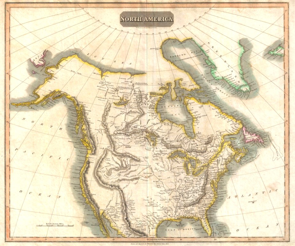
1814 maps of north america
maps by john thomson
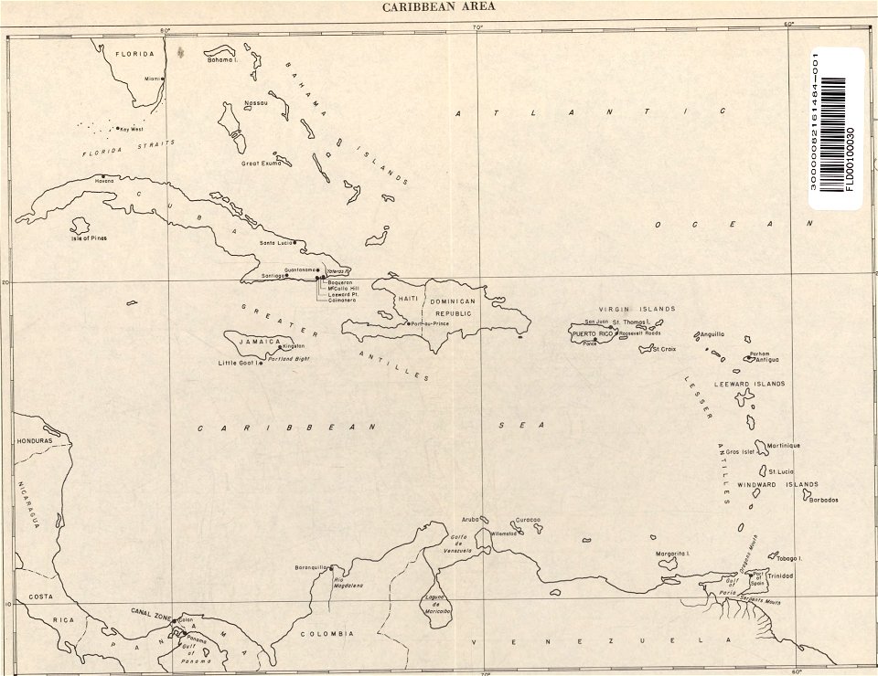
20th-century maps of the caribbean
maps of the caribbean
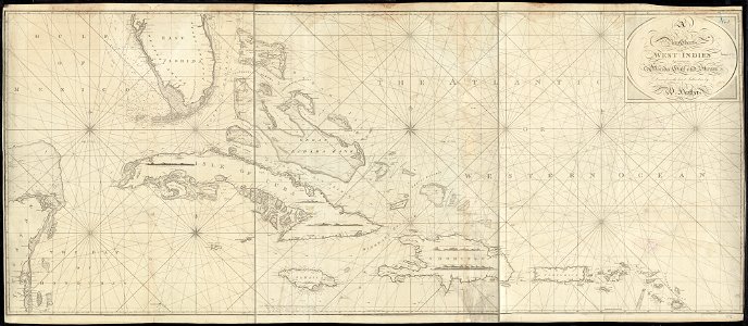
1790s maps of the caribbean
1797 maps
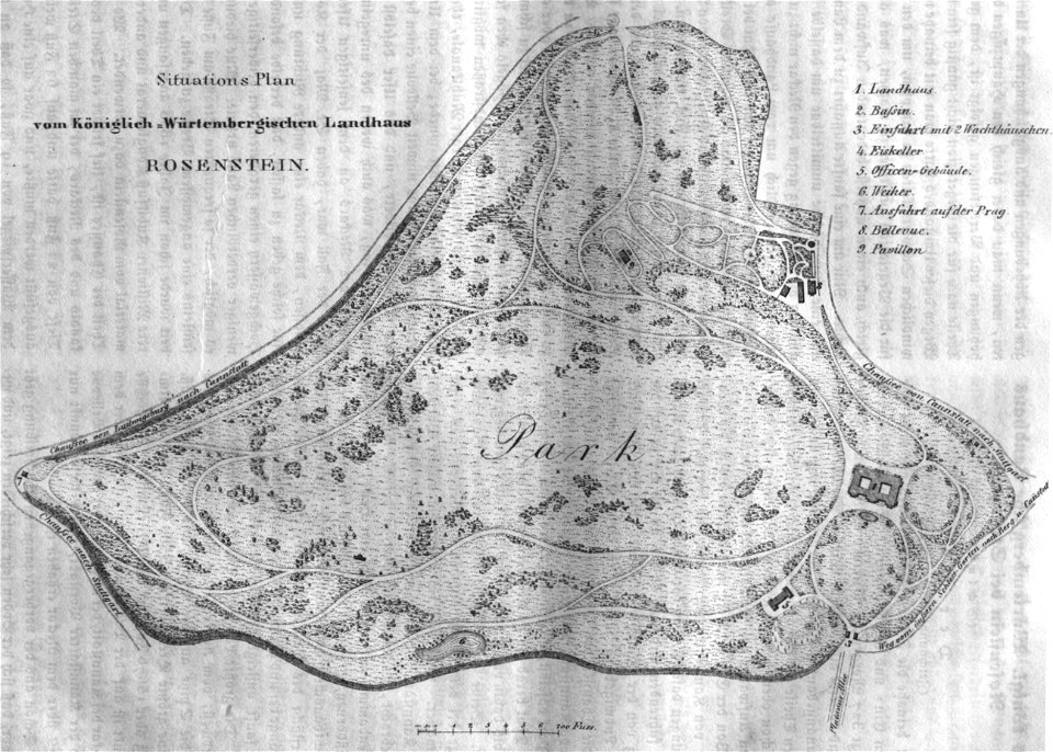
schloss rosenstein
rosensteinpark
maps in the library of congress
pennsylvania
6201 - 6300 of 52,119
Next page
/ 522